Detailed Data From On-High: How Planet Views the World

Many lines have been written on sites like Tech Wire Asia describing the near-exponential growth of available data in the last few years and how best organizations can utilize this gold mine of information to best effect. But just creating or having access to petabytes of data is of lesser use if the information is not objective, consistently produced, detailed where it needs to be, and – in many use cases – undoubtedly global.
In life-threatening disasters such as war, flood, famine, and life-affecting tasks like carbon emission tracking, pollution monitoring, and large-scale farming, having access to rich, globally consistent data helps organizations make big decisions. From choosing the best crops for a particular soil type to finding renegade activities via air quality monitoring in urban areas, technology holds the answer. Indeed, a specific solution that’s supremely effective is hyperspectral satellite imagery.

Source: Planet Labs
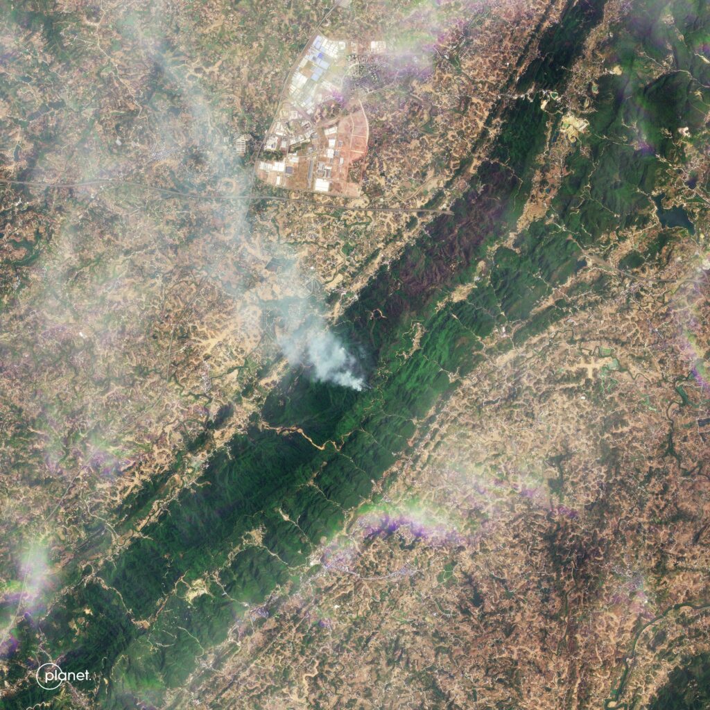
Unlike traditional satellite photography, hyperspectral imaging captures more than just light, bringing new information to organizations that need to see beyond the immediately visible. By filtering data, attenuating spectra, and combining a broad range of imagery, hidden information is brought to the surface that’s otherwise unavailable, even from ground-based surveying.
In addition to removing issues like surveying team costs and differences in measurement methods from place to place, high-altitude hyperspectral imaging satellites create multiple views at required resolutions to unearth canonical data that are accurate within smaller tolerances than any other collection method. From there, data processing can filter results to focus on any of the hundreds of indicators that uncover hidden changes over time, highlight slow alterations, or expose data that’s impossible to capture without a long-term view from, literally, on high.
Covering multiple use cases and active in many verticals, Planet is one of the world’s leading suppliers of this next-generation data-gathering and processing capability. Its data capture presentation solutions are used daily in natural disaster response, utility infrastructure planning, agriculture, defense, and many more. Information can be presented in multiple ways or embedded into existing solutions via API calls. Whether it’s a single source of truth or used to enrich and extend existing data sets, hyperspectral data creates detailed topographical, environmental, or geological information.
Planet is currently investing in its third and fourth-generation satellite swarms, covering the Earth’s landmass via polar orbits that, as the constellation grows, capture every inch of the world’s surface with increasing frequency.
The farmer
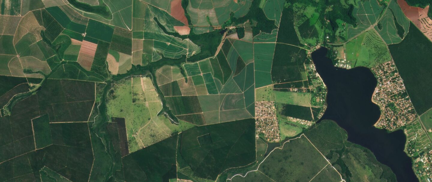
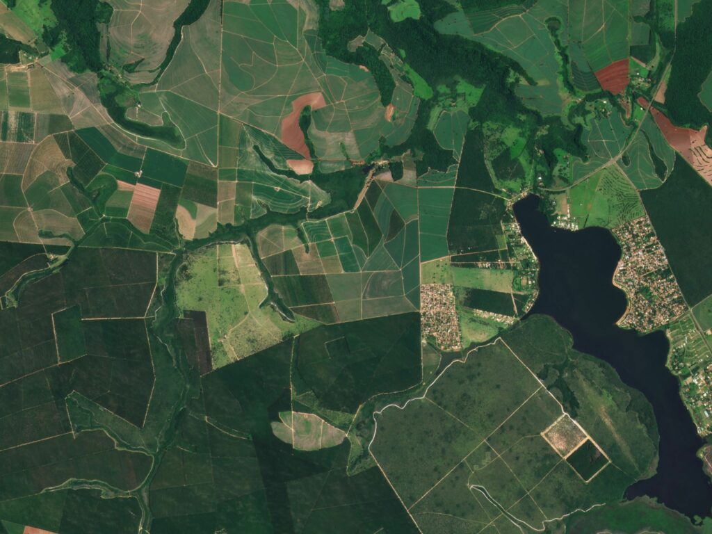
Planet’s solution for agriculture epitomizes the precision and detail of the data available. Year-round crop health can be measured from planting to plowing, with precision data fed to ground-based operations that treat low-yield or diseased areas with minimal environmental impact and cost. Predictive analysis enables proactive decision-making, ensuring results on the ground are optimized for outcomes ranging from ecological soundness to bespoke yield targets.

Source: Planet Labs
Over time, Planet has built an archive of imagery that shows the changing use patterns of agricultural regions worldwide, at resolutions down to 50 cm. Users can access this treasure trove of information via open APIs, making it an invaluable resource for agritech innovators, local farmers, civic and rural planners, and any organization interested in how we use land for food production, development, rewilding, or conservation.
The increasing pressure placed on agricultural land needs a measured and precise set of responses from its stewards, and the broad-brush farming methods of the past are no longer environmentally desirable or economically viable. From the scale of the single-family farm upwards, those stewards can ensure the best use and treatments for land according to prevailing conditions, such as ensuring optimum yields using as few additives as possible, all on a highly localized basis.
The planner
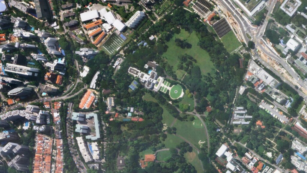
New challenges face urban planners all over the world. While developed countries’ populations are less dependent on urban environments thanks to new work patterns, the developing world continues to see substantial population movements to urban areas where economic activity is concentrated.

Source: Planet Labs
Discovering what impacts decisions taken on the ground have on large areas requires detailed information. Over large physical areas, gathered information requires massive data processing and storage requirements. By stipulating what information captured is most relevant and sourcing it, town planners can reach decisions about the best uses of resources without having to both pay and wait for big data processing to unearth insights from terabytes of peripheral information.
Key indicators captured by satellite constellations ensure relevancy of data, and faster, better decisions can be taken for long-term good.
The future
Planet is working on two future constellations. One is its Pelican tasking constellation, set to replace its existing SkySat constellation. This next-generation satellite constellation will offer greater resolution, down to 30 cm at ground level. The new constellation will also provide up to 30 visits per day over target areas, allowing a huge degree of control over ground-based activities.
The future of hyperspectral imagery is also on its way. Planet is developing its hyperspectral satellite constellation, Tanager. Data is expected to be offered at a 30-meter resolution and provide insights from over 400 spectral bands. These spectral bands can help identify “signatures” of chemicals, materials, and environmental processes normally hidden from the human eye, enabling the evaluation of occurrences such as CO2 emissions and methane leaks.
The present
With multiple use cases and an ethos of easy access to powerful data, Planet’s work contributes positively to many industries, helping the planet use its resources accurately and with minimal impact.
You can find out more about how this global leader can address your specific use cases for hyperspectral imagery by following this link for more information.
READ MORE
- 3 Steps to Successfully Automate Copilot for Microsoft 365 Implementation
- Trustworthy AI – the Promise of Enterprise-Friendly Generative Machine Learning with Dell and NVIDIA
- Strategies for Democratizing GenAI
- The criticality of endpoint management in cybersecurity and operations
- Ethical AI: The renewed importance of safeguarding data and customer privacy in Generative AI applications
